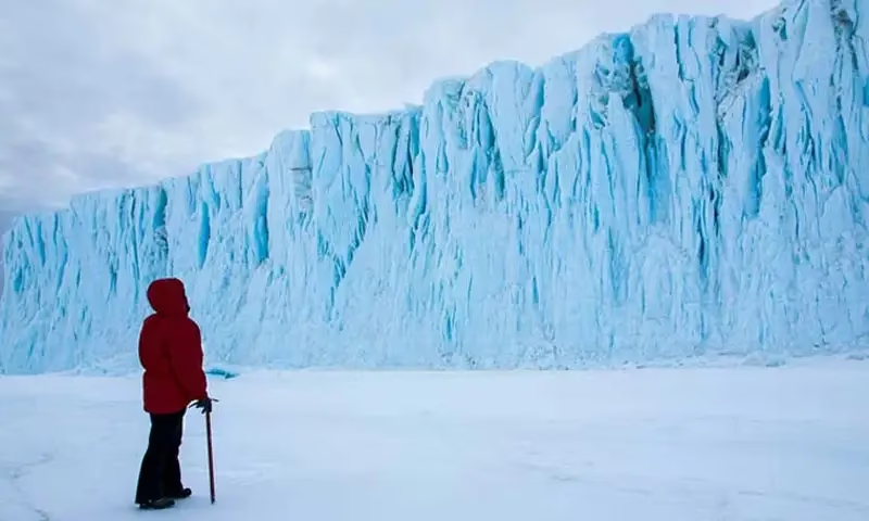
Antarctica hidden landscape discovery has marked a historic milestone in Earth science, as researchers have uncovered remarkable details about what lies beneath the continent’s vast ice sheet for the first time. Using advanced mapping technologies, scientists have revealed an ancient and complex terrain hidden under kilometers of ice, reshaping our understanding of the frozen continent and its role in the global climate system.
For decades, Antarctica’s thick ice cover has been one of the biggest barriers to studying its true geological structure. In many regions, the ice is several kilometers deep, making direct observation nearly impossible. However, recent scientific breakthroughs have allowed researchers to overcome this challenge and virtually “see through” the ice without drilling into it.
How Scientists Uncovered the Hidden World
The Antarctica hidden landscape discovery was made possible through a combination of satellite observations, high-resolution radar imaging, and detailed analysis of glacier movement. Satellites collected precise elevation and gravity data, while radar systems penetrated the ice to detect variations in the rock surface below. By studying how glaciers flow and respond to the terrain beneath them, scientists were able to reconstruct an accurate map of the hidden landscape.
This multi-layered approach provided a level of detail never achieved before. Instead of rough estimates, researchers now have a clearer picture of the continent’s underlying structure, revealing features that rival those found on other continents.
Mountains, Valleys, and Deep Gorges
One of the most surprising aspects of the Antarctica hidden landscape discovery is the sheer scale and complexity of the terrain beneath the ice. Scientists found thousands of rugged mountain peaks, some comparable in height to major mountain ranges elsewhere in the world. These peaks are separated by vast valleys and deep, narrow gorges carved over millions of years.
The newly revealed landscape includes extensive mountain systems, intricate elevation patterns, and wide basins that suggest a long and dynamic geological history. Many of these features were shaped long before Antarctica became the frozen continent we know today, when it had a much warmer climate and flowing rivers.
Why This Discovery Matters
Understanding what lies beneath Antarctica’s ice is not just about satisfying scientific curiosity. The Antarctica hidden landscape discovery has major implications for climate science and future sea-level predictions. The shape of the land beneath the ice plays a critical role in how glaciers move and how quickly ice sheets can melt.
In some areas, deep valleys below sea level may allow warm ocean water to reach the base of glaciers, accelerating melting from underneath. In other regions, mountain ridges can act as natural barriers, slowing ice flow. Having accurate maps of this terrain helps scientists build better models to predict how Antarctica’s ice sheet will respond to rising global temperatures.
Insights Into Antarctica’s Geological Past
The findings also offer valuable clues about Antarctica’s ancient past. The Antarctica hidden landscape discovery suggests that the continent once had dramatic topography shaped by tectonic activity, erosion, and possibly even rivers and forests millions of years ago.
By studying these buried landforms, geologists can piece together how Antarctica evolved over time, how it broke away from other continents, and how its climate transformed from temperate to polar. This deeper understanding helps scientists compare Earth’s history with changes happening today.
A Breakthrough for Future Research
Researchers believe this discovery is only the beginning. The newly generated data will be used to refine climate models, guide future field studies, and support international research efforts in Antarctica. The Antarctica hidden landscape discovery also highlights the power of modern technology in exploring some of the most inaccessible places on Earth.
As mapping techniques continue to improve, scientists expect even more detailed insights into the continent’s hidden features. These advancements could help answer critical questions about ice stability, global sea levels, and the long-term impacts of climate change.
Antarctica remains one of the last great frontiers on the planet, and discoveries like this remind us how much there is still to learn. The Antarctica hidden landscape discovery not only reveals a breathtaking world beneath the ice but also provides essential knowledge for understanding Earth’s future.
By uncovering what lies below, scientists are better equipped to predict what may happen above the surface in the coming decades. As global temperatures rise, this knowledge could prove vital for coastal communities worldwide and for shaping global climate policy.